Last Updated on August 1, 2024
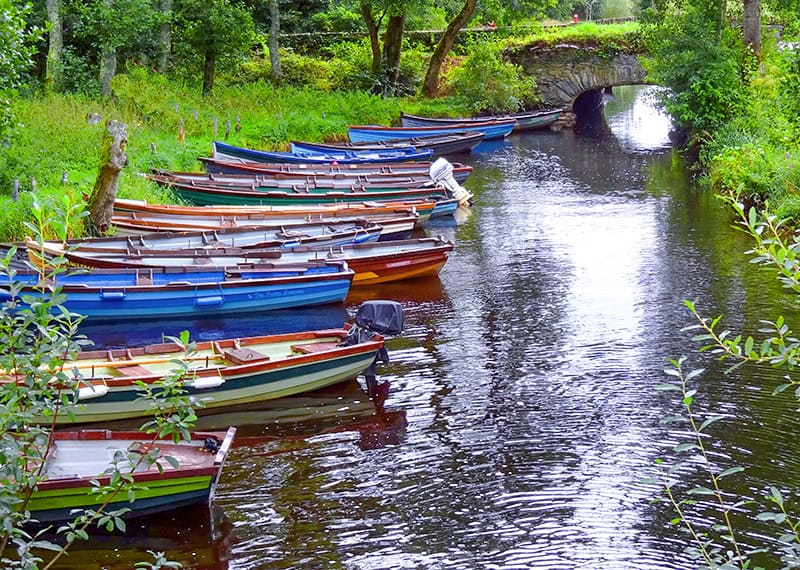
Drive around Ireland’s Ring of Kerry, and you’ll quickly discover why it’s one of the most popular trips in Ireland.
Estimated reading time: 7 minutes
By Jim Ferri
Beginning and ending in Killarney on the southwest coast of Ireland, the Ring of Kerry is an easy drive with beautiful inland and coastal views.
There is an interactive driving map of the Ring of Kerry below, which you can also use on your smartphone as you travel.
The drive along the Ring of Kerry itself is only about 125 miles in length, but don’t let that fool you. You’ll be driving on a winding two-lane road, and you’ll likely find yourself stuck behind a few tour buses.
And, of course, you’ll want to stop numerous times for photos along the Ring of Kerry or to grab a pub lunch. Most likely it will be a very full day.
(Letters in parenthesis below refer to locations on the Driving Map of the Ring of Kerry).
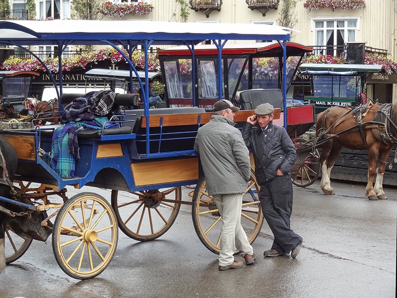
Begin Your Ring of Kerry Drive in Killarney
If you’re renting a car at Shannon airport, you’ll need to make a 1½-hour drive to Killarney (A). Alternatively, you can make a 4-hour train trip from Dublin and rent a car in Killarney. Either option you choose, you’ll likely enjoy the journey through some pretty Irish countryside en route.
While many people overnight in Killarney to explore the town and Killarney National Park, others stay in Kenmare (F) to the south to get a head start on the tour buses. Regardless of either place you stay, you can still follow this Ring of Kerry map. Remember, however, you’ll always encounter some buses anyway wherever you are on the Ring of Kerry. It’s just a game of numbers depending upon the season when you’re visiting.
There’s also a difference of opinion on which way to make the drive, clockwise or counter-clockwise. I’ve done it three times and found going counterclockwise seems to provide a more dramatic view. It’s due to the way the sun strikes the scenery.
Whichever way you choose, start out early to avoid the traffic and have more time to stop along the way.
A Driving Map of the Ring of Kerry
This map depicts a driving tour of the places mentioned in this article. It is interactive; press +/- to enlarge it or make it smaller. It can also be viewed, and the route followed, on your smartphone.
Vintage Ireland: Hills Speckled With Sheep
If you’re starting out from Killarney, head northward towards Killorglin (B) on route N72. It will take you about a half-hour to get there.
At Killorglin turn west onto route N70, the road you will follow all the way around the ring to Kenmare.
By all means, if you’re driving the Ring in the spring or autumn keep your car window cracked a bit. Every once in a while you’ll get a sweet whiff of peat burning in fireplaces of homes along the way. It’s quintessential rural Ireland and if you’re of Irish descent it’s a whiff back to the times of your ancestors.
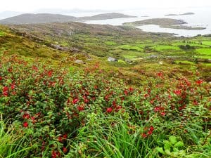
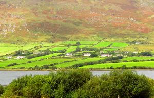
The Ring of Kerry scenery starts out slow at first, before morphing into spectacular vistas of the sea and verdant mountainsides. The countryside all about is speckled with sheep and cows.
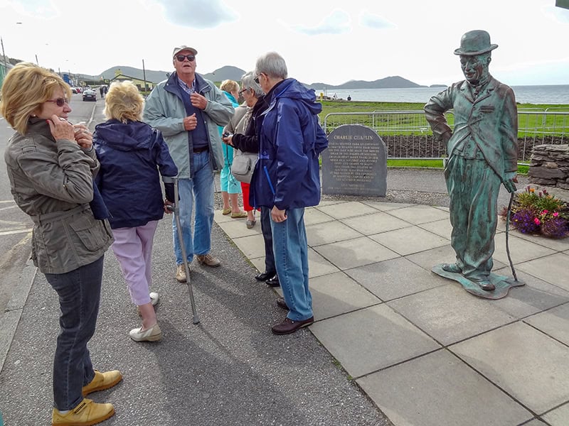
Charlie Chaplin, Then a Great View of the Ring
You’ll go through Glenbeigh and then skirt along the ocean, turning inland past Cahersiveen (C) to cross the hills to Waterville (D). A little coastal town, Waterville’s claim to fame is Charlie Chaplin, who vacationed here annually for a decade or so. Stop for a photo next to Chaplin’s statue on the sea-side of the road.
As you’ll see on the Ring of Kerry map, beyond Waterville, the Ring becomes even more winding. Every once in awhile oncoming lorries and buses hug the center line just enough to give you pause. But there are also cutouts along the way so you can pull over and take pictures of the spectacular views.
As the road climbs the hills past Waterville, about 10 minutes out N70 turns eastward. It’s the highest point on the Ring of Kerry.
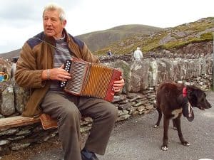
Watch for a large cutout big enough for the tour buses on the west side of the road. It’s a great place to stop since the view along the coastline here is spectacular. A bonus is that at times you’ll find an itinerant musician or two there, serenading those who stop.
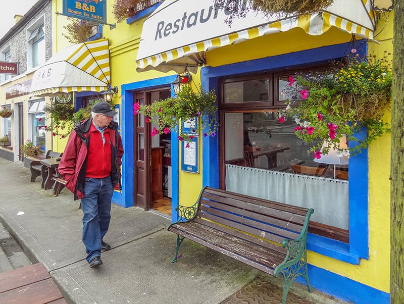
Moll’s Gap and Killarney National Park
When you leave the viewpoint, continue for another half hour on the Ring to Sneem (E), a colorful little town. You might want to stop and walk about a bit, visiting its small shops. After Sneem, the road turns northward and leads you towards Moll’s Gap (G).
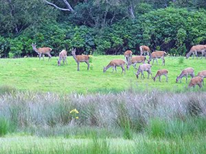
The drive on the Ring through the Gap to Killarney National Park (H) will take you through hills and valleys that are dramatically beautiful. They are an incredible vivid contrast to the softer beauty of the coast. Be careful driving since you may find free-range sheep sharing the road with you.
Be sure to spend some time in Killarney National Park and see Muckross House, a 19th-century Victorian mansion. It’s so beautiful it could have been plucked off the cover of some trashy romance novel. It’s also home to one of the four great gardens in Ireland.
Tour the house and walk about its gardens and enjoy the vistas of the lake and vast forest all around you. Be sure also to visit nearby 15th-century Ross Castle before continuing back into Killarney.
If You Go:
Tourism Ireland
345 Park Avenue
New York, NY 10154
Tel: (212) 418-0800
https://www.tourismireland.com/

A tour of Ireland is on my Bucket Lisk. My son and I plan to take a 4-6 week excursion via car staying overnight and/or 2-3 nights at various townships next Autumn. We had to cancel this year due to Covid-19. I look forward to your newsletter and hope you can provide me with interesting suggestions between now and then.
Hi Tom,
4-6 weeks in Ireland! You’ll love it. There’s so much you can do. Also be sure to go to Belfast in Northern Ireland. I’ve pretty much covered most of Ireland and you can see many articles on different places in the country in the “Site Search” boxes on the right side of the page of the site. If you have any questions let me know.
Jim